


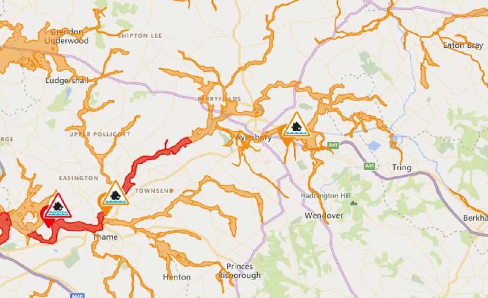
A flood warning overnight has led to many rivers in Bucks recording higher levels than usual
The worst affected areas are those close to the River Thame, from below Eythrope to Chiselhampton.
The map below shows water levels as of 9.30am today.
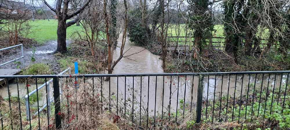
These pictures were taken at The Willows near Fairford Leys in Aylesbury.
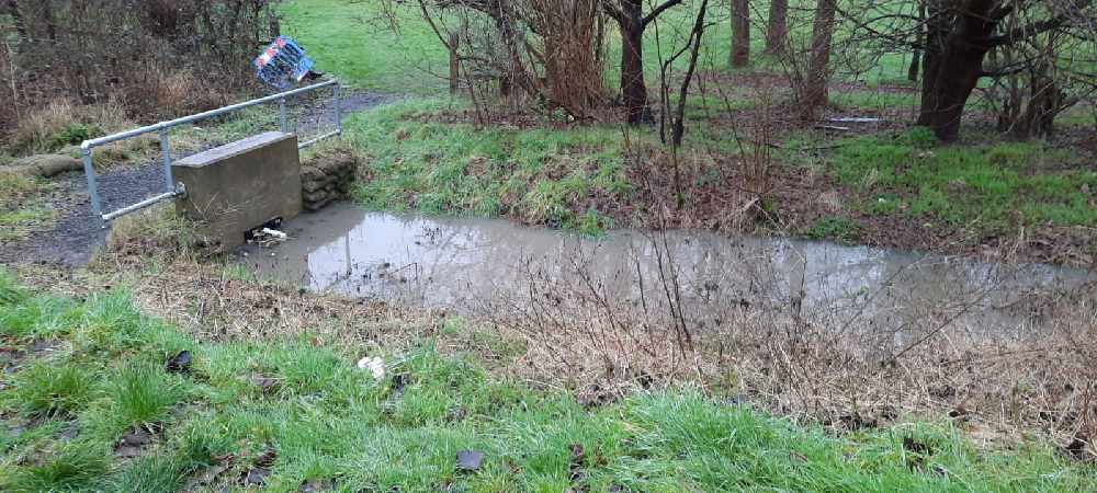
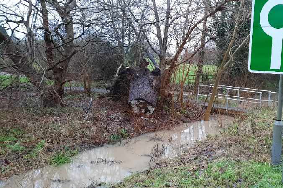
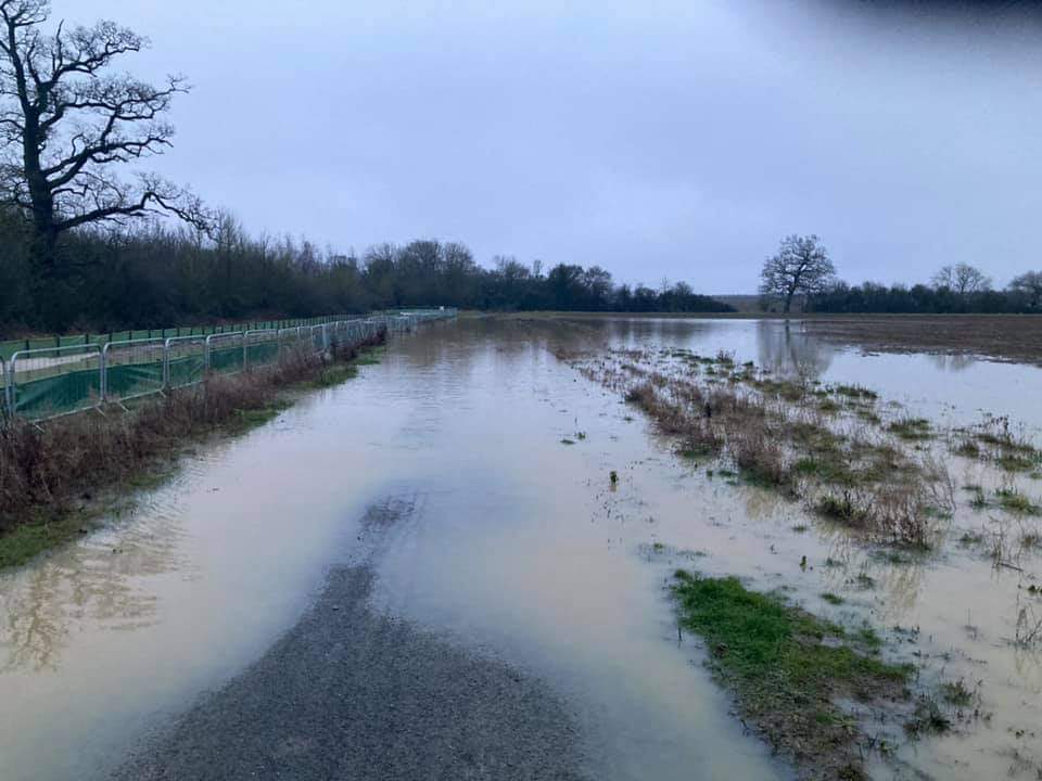
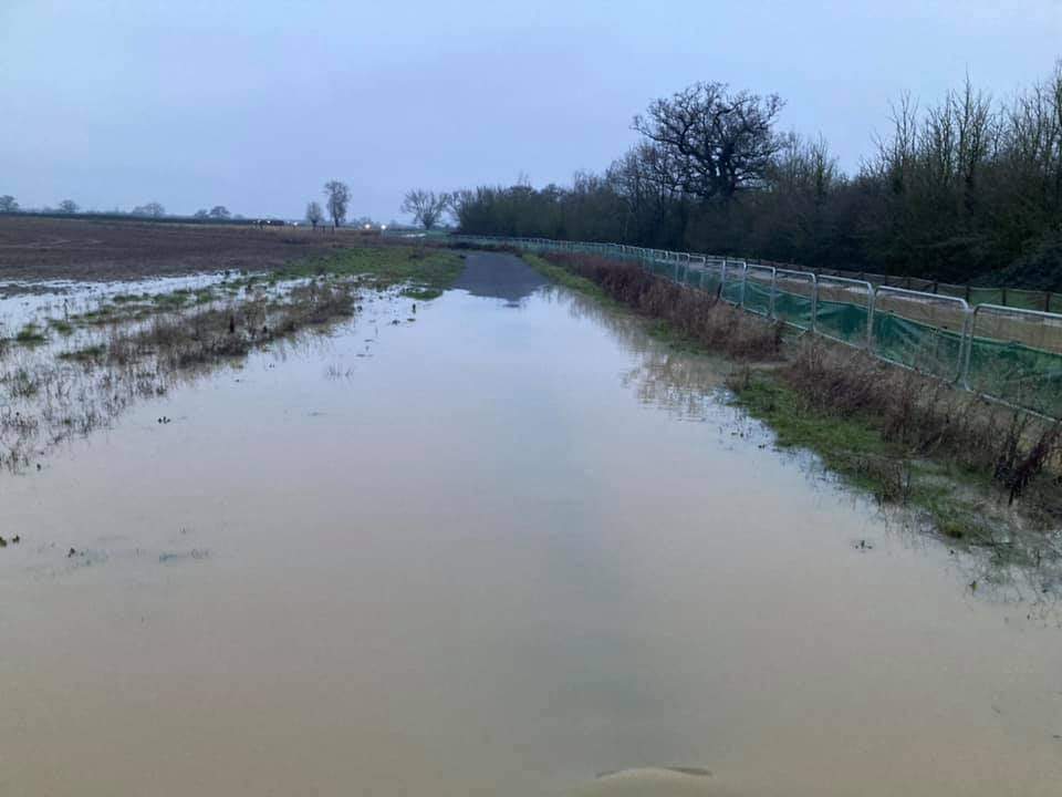
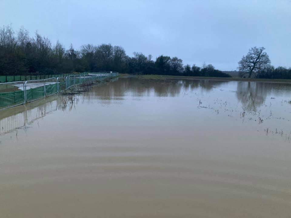
The next three photos were taken by www.allpeoplephotography.com along the Greenway between Waddesdon and Berryfields:
To check flood risk in your area, head to the Environment Agency map.
 Bucks Local Plan: Aylesbury MP raises concerns
 Bucks Council launches final consultation on draft Local Plan
 Aylesbury coach begins Commonwealth Games journey with Team England
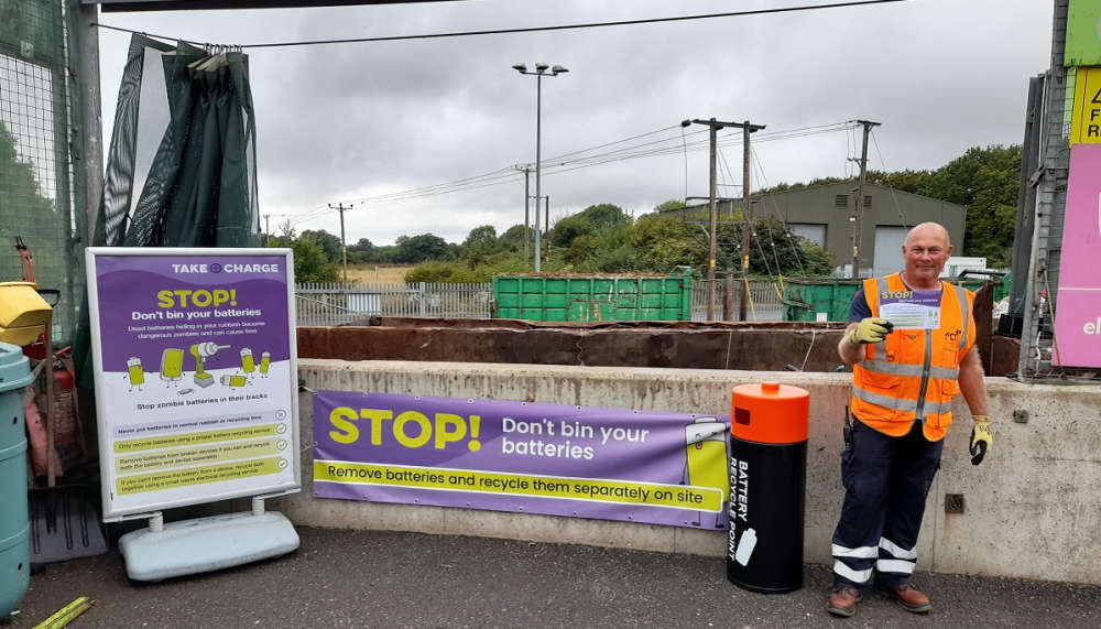 Small Fire Temporarily Closes Aylesbury Recycling Centre
 Spend a night under the stars at Waddesdon Manor to help tackle homelessness in Buckinghamshire
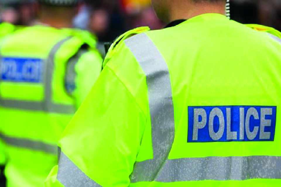 Police carry out co-ordinated searches targeting organised crime across Bucks
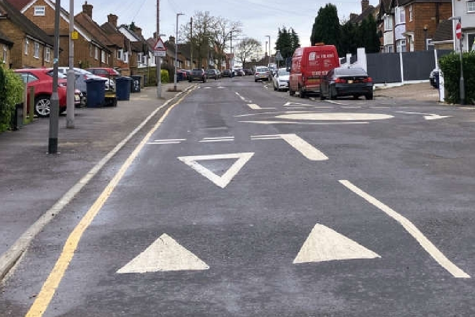 Newly installed raised table in Amersham to be replaced