


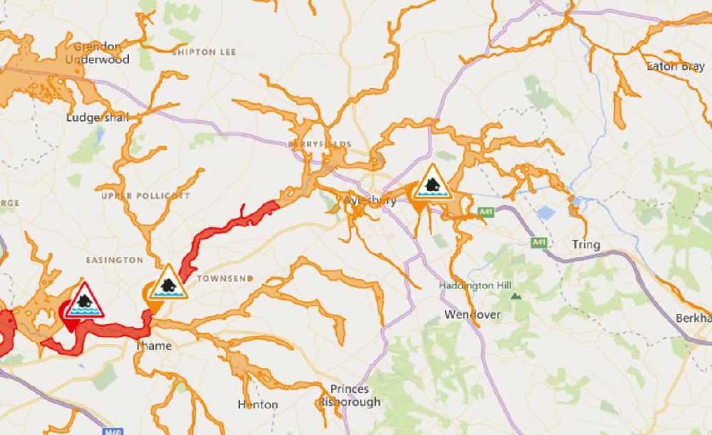
A flood warning overnight has led to many rivers in Bucks recording higher levels than usual
The worst affected areas are those close to the River Thame, from below Eythrope to Chiselhampton.
The map below shows water levels as of 9.30am today.
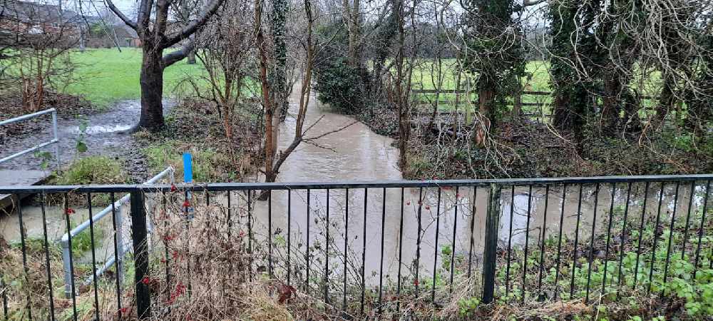
These pictures were taken at The Willows near Fairford Leys in Aylesbury.
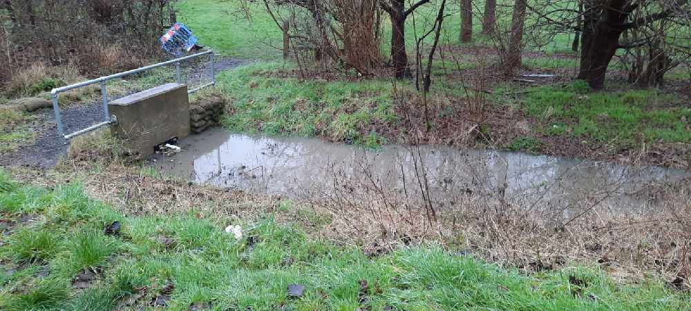
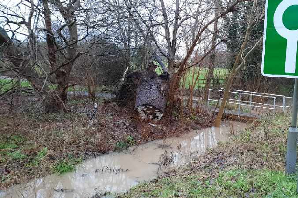
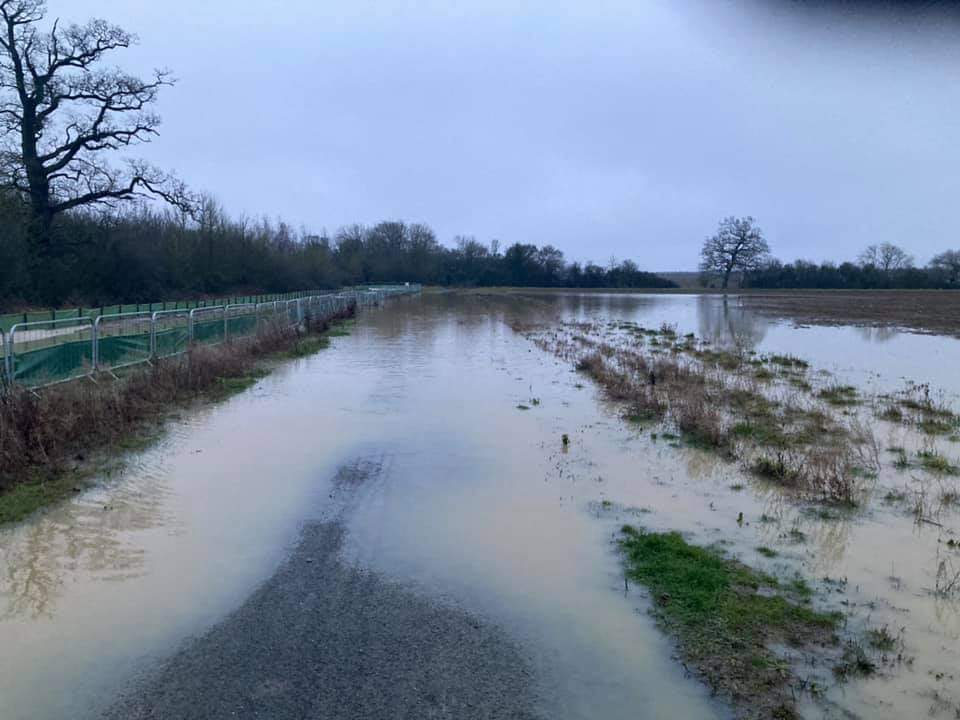
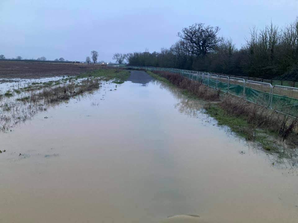
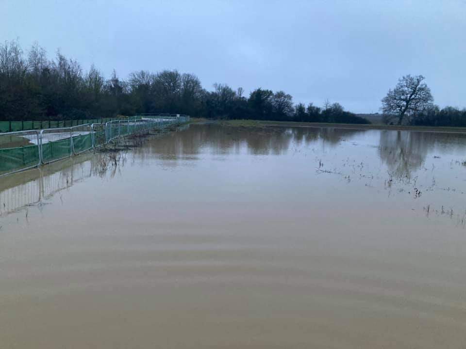
The next three photos were taken by www.allpeoplephotography.com along the Greenway between Waddesdon and Berryfields:
To check flood risk in your area, head to the Environment Agency map.
 Football Club Marks One-Year Anniversary of Championing Men’s Mental Health
 Food waste recycling expanding to flats in the south of Buckinghamshire
 Bucks Olympians going for gold in Italy
 Bucks charity launches overnight Hospice at Home service
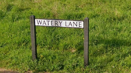 New double yellows for street
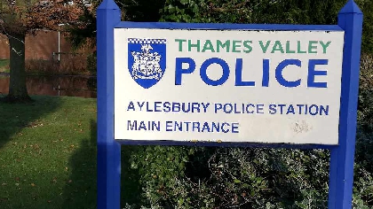 Amnesty for blank guns now classed as illegal
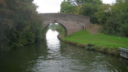 Aylesbury Arm of canal re-opened
 Bucks community groups eligible to benefit from £200,000 seized from criminals